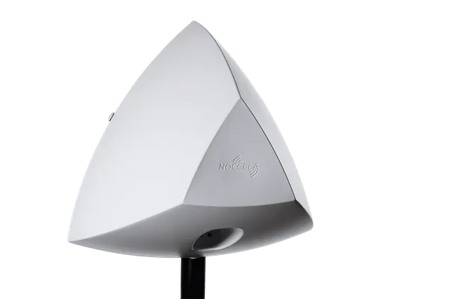
At Harjun Oppimiskeskus (Harju Learning Center), Noccela tracked horses on a 7,000 m² outdoor area with 25 base stations (UWB anchors) and in a 1,500 m² indoor area with 12. The project measured accuracy of about 25 cm outdoors and 3–10 cm indoors. The base-station density was chosen per area: lower where decimetres were enough, higher where fast-moving horses needed centimetres.
Background
Harjun Oppimiskeskus is developing an equine education and research centre. The centre identifies and acquires measurement and monitoring innovations that produce new information for the equine industry, with a focus on horses’ performance and well-being. The information is used in research and development in equestrian sport, and the centre shares open data with different parties.
Its stable was moving towards a more automated and digital environment, from feeding the horses to monitoring how active they are outdoors every day. Noccela was introduced to the project by its partner Fidera, a Finnish technology company founded in 2013 that provides an IoT analytics service for tracking people, goods, animals and processes. The work was done as a proof of concept.
Goals
The location system had to provide:
- Real-time positions in three dimensions (x, y and z).
- Distances the horses travel outdoors.
- Speed indoors, together with position.
- Acceleration indoors, together with position.
- The time each horse spends in its stall.
Challenge
The two areas needed different things. Outdoors, the question was how far each horse moves during the day, which does not require centimetres. Indoors, the stable wanted speed and acceleration with position for horses moving fast, which does.
The speedometers in use before the project were not accurate enough, and every horse had to be tracked individually so that changes in one animal’s behaviour would not be lost in averages.
Solution
- Outdoor area: 7,000 m² covered by 25 base stations, about 280 m² per base station.
- Indoor area: 1,500 m² covered by 12 base stations, about 125 m² per base station.
- Density matched to the need. Fewer base stations were installed outdoors, where decimetres were enough, and more indoors, where horses moving at speed needed the highest accuracy. This is how the same system can serve both areas without over-building either.
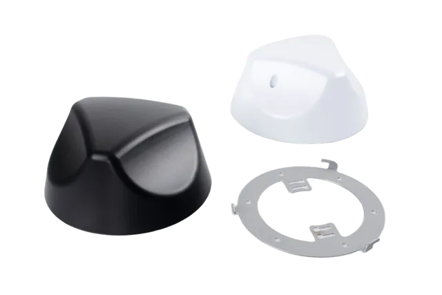
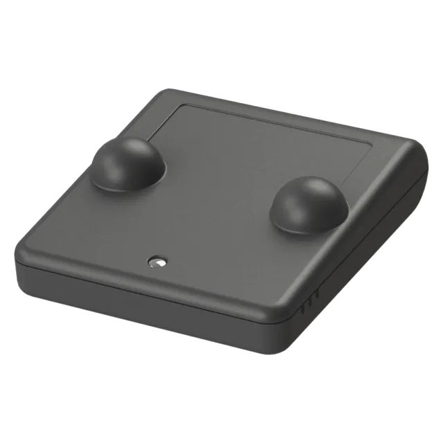
- Tags on the horses. Each horse carried its own tag, which sent its signals to the base stations.
- Positions in the cloud, data through the API. Noccela’s positioning engine computed x, y and z coordinates in the cloud and stored them for analysis and reports, available to other systems through the API.
Results
- Accuracy in this project: about 25 cm outdoors and 3–10 cm indoors. These are the values reported for this installation; Noccela’s general specification is accuracy up to 10 cm, depending on the environment and the number of base stations.
- Time saved. Tracking is automatic, so nobody has to record the horses’ movements by hand.
- Health and well-being on a new level. Each horse is tracked separately, so the time spent in stalls and other changes in behaviour can be detected early.
- Better speed data. The inaccurate speedometers were replaced with location-based speed and acceleration measurement.
What’s next
Harjun Oppimiskeskus aims to produce new information for the equine sector and to share open data through its information management system. Speed, distance and stall-time data from individual horses are exactly that kind of information.
For other sports and animal-tracking projects, see Noccela’s solution for sports and animal tracking and the football analytics case with SPÅT.